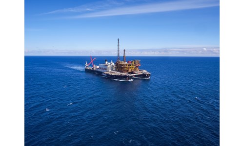
Skarv Area
*Please note that this report only includes an Excel data file if this is indicated in "What's included" below
Report summary
Table of contents
- Key facts
-
Summary and key issues
- Summary
- Key issues
- Location maps
-
Participation
- Unitisation of Skarv fields
- Corporate Activity
- Geology
- Well data
-
Exploration
- Future exploration activity
- Recent exploration activity
- Historical exploration activity
- Skarv
- Idun
- Aerfugl (previously Snadd)
- Aerfugl Nord (Outer)
- Reserves and resources
-
Production
- Emissions
-
Development
- Key development metrics
- Infrastructure
-
Costs
-
Capital Costs
- Aerfugl
- Gråsel
-
Operating Costs
- Skarv and Idun
- Aerfugl
- Gråsel
-
Capital Costs
- 4 more item(s)...
Tables and charts
This report includes the following images and tables:
- Key facts: Table 1
- Index Map
- Skarv Area Map
- Geology: Table 1
- Well data: Table 1
- Well data: Table 2
- Well data: Table 3
- Well data: Table 4
- Reserves and resources: Table 1
- Production: Table 1
- Production: Table 2
- Skarv Area Production Profile
- 39 more item(s)...
What's included
This report contains:
Other reports you may be interested in
Skarv Satellites
Skarv Satellites is a collection of oil and gas fields in the Voring Basin and Mid Norway.
$3,720Greater Ninian Area
The Greater Ninian Area comprises the giant Ninian field and several satellite accumulations. These include the Columba B, D, and E ...
$3,720Piper Area
The Piper Area includes the Piper and the Tweedsmuir oil and gas fields, which lie in the outer Moray Firth of the Central North Sea. ...
$3,720